- IMG 8349
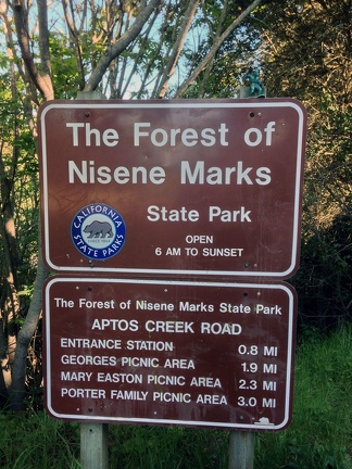
On the way to the San Francisco Bay Area, the Gorn stops near Watsonville, CA at The Forest of Nisene Marks State Park, home to the epicenter of the 1989 Loma Prieta Earthquake  IMG 8351
Just inside the park gates, the signage for the trail lengths. Someday in the future, the Gorn will hike to the epicenter sign. It's a 4 mile hike through forests and some Poison Oak so precautions need to me made!- IMG 8361
After a long day of vacation, the Gorn poses with the Golden Gate bridge from a higher vantage-point than usual in the Marin Headlands  IMG 8394
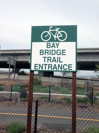
The Gorn gets ready to hike the Bay Bridge trail across the new Eastern span of the San Francisco-Oakland Bay Bridge- IMG 8395
Posing with the map of the trail. Currently you cannot go all the way to Treasure Island, but hopefully in a year or two the Gorn will be back to complete the hike (maybe with a bike!) - IMG 8400
Josh and the Gorn pose with the old Incline-Cantilever section of the Eastern span of the Bay Bridge. This was the 50' section piece that collapsed in the 1989 Loma Prieta Quake. They are in the process of demolishing the bridge so glad we got to see it before it was gone. - IMG 8404
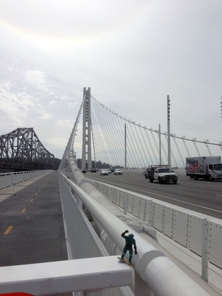
Looking at the old span (left) and the new span (right) of the Eastern span of the San Francisco-Oakland Bay Bridge - IMG 8401
Once more posing with the section of the old Bay Bridge that collapsed in 1989. The section is just above the Gorn in this photo - IMG 8406
Long shot looking at the iconic single anchor tower of the new Eastern Span of the Bay Bridge.  IMG 8424
The end of the Bay Bridge trail - it stops here to keep people away from the demo work occurring on the old span.